Information boards that are installed at Moscow roads will show the estimated travel time to the important objects at the highway – subway stations, airports, railway stations and major city districts.
For example, the information board at Leninsky Prospekt will inform drivers how long it takes to get to the Ring Road and to Vnukovo airport. Information board at Komsomolsky Prospect will show the time you would need to reach the Universit Metro Station and Lobachevsky Street.
Travel time is calculated based on actual road conditions data. Information will be updated every 10 minutes, and in the future – once in 1-3 minutes.
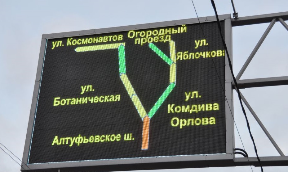
Presently, the information boards show information about congestion of streets in scores, and a map of road condition. This information aims to help drivers assess their travel time and choose the best route.
Nowadays there are 144 information boards at Moscow roads. They are the part of the Intelligent Transport System, which includes cameras, traffic lights control system, information boards and systems of monitoring and management of urban transport.

